12 night 13 days

Daily Tour
20 people
English
The Manaslu Circuit Trek is an extraordinary adventure, offering a profound journey through the heart of the Nepalese Himalayas. This comprehensive guide provides prospective trekkers with all the necessary information to plan and embark on this unforgettable experience, from detailed itinerary breakdowns and logistical considerations to cultural insights and essential safety protocols.
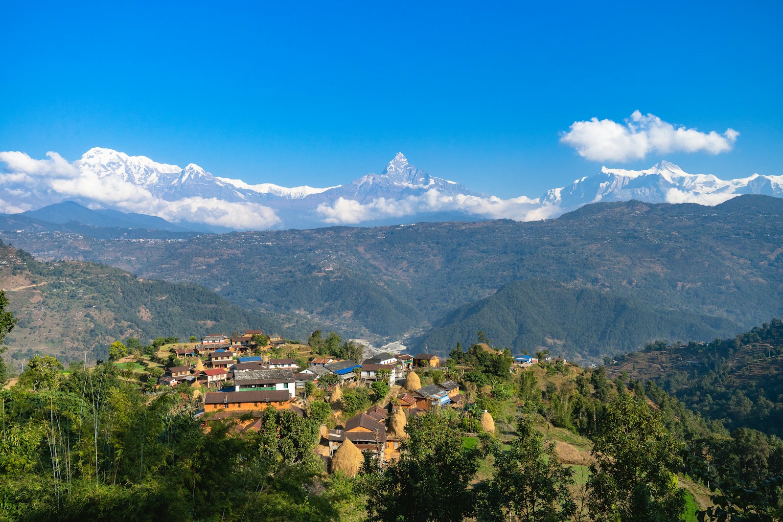
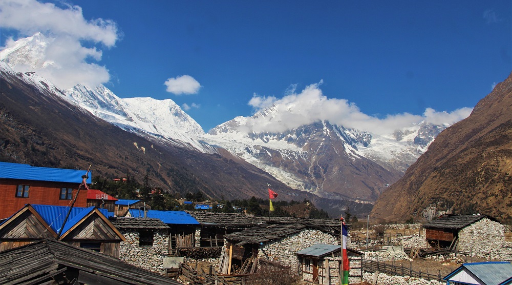
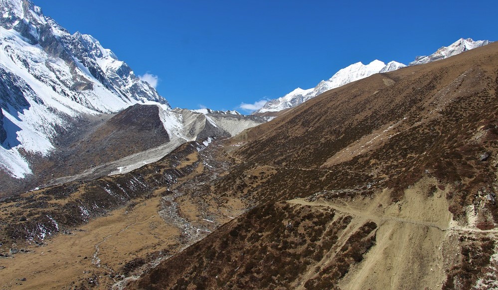
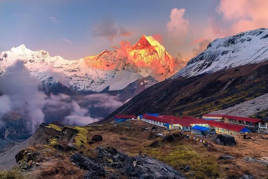
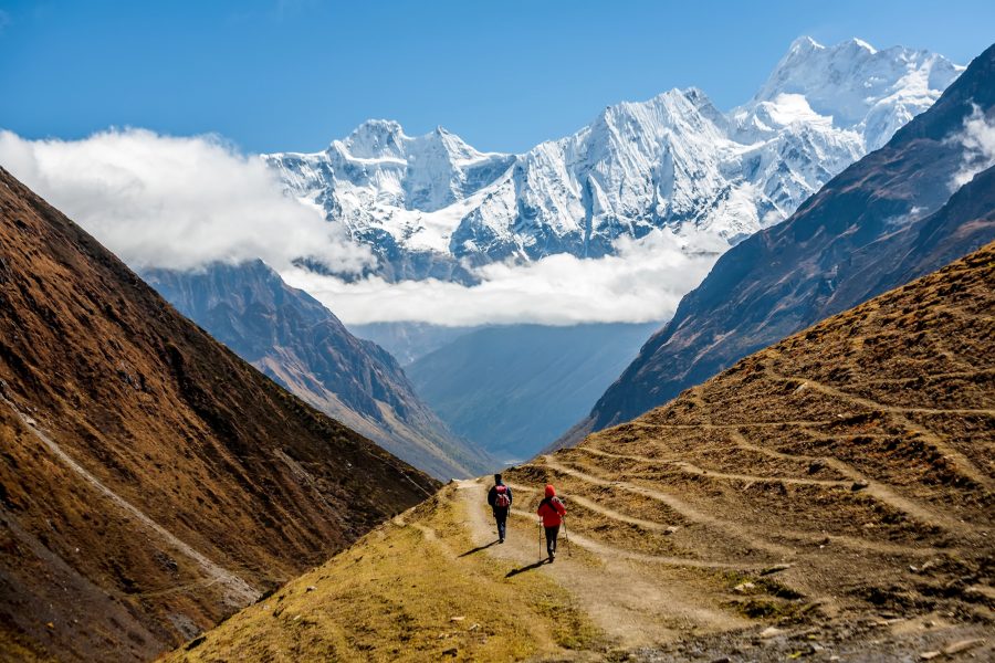
The Manaslu Circuit Trek, typically a 13-day itinerary offered by leading adventure companies, is a spectacular journey that circumnavigates Mount Manaslu, the world’s eighth-highest peak at 8,163 meters (26,781 ft).1 Covering approximately 180 kilometers (111.85 miles), the trek culminates at the challenging Larkya La Pass, standing at a formidable 5,106 meters (16,752 ft). This expedition is a tapestry of diverse landscapes, transitioning from lush sub-tropical jungles at lower altitudes to serene alpine meadows and formidable high-altitude passes. Beyond its natural grandeur, the trek offers an authentic immersion into Tibetan-influenced culture, characterized by ancient monasteries, fluttering prayer flags, and traditional villages.
The Manaslu Circuit distinguishes itself from more frequented routes like the Annapurna Circuit or Everest Base Camp by offering a more remote and pristine Himalayan experience. It attracts fewer trekkers, leading to less developed facilities and a greater sense of solitude and genuine cultural engagement. This journey provides a unique opportunity to witness traditional Tibetan-influenced village life and explore the untouched beauty within the Manaslu Conservation Area.
The perceived difficulty of the Manaslu Circuit Trek can vary, and comparisons with other renowned treks like Everest Base Camp highlight the unique challenges it presents. While one perspective suggests Manaslu is more challenging than Everest Base Camp, another views it as slightly easier than Everest Base Camp but more challenging than the popular Annapurna Circuit. This difference in perception underscores that “difficulty” in trekking is multifaceted.
Beyond the sheer physicality of long daily walks, steep ascents, and descents, factors such as the trek’s remote nature, limited evacuation options, and less developed infrastructure contribute significantly to its overall demanding character. The trails on the Manaslu Circuit are often rougher and less maintained compared to those on more popular routes. Consequently, the Manaslu Circuit Trek demands not only a high level of physical fitness but also a considerable degree of self-reliance, adaptability, and mental fortitude. It appeals to trekkers seeking a genuine wilderness adventure that goes beyond a well-trodden path.
This table provides a concise, scannable overview of the entire trek, making it easier for readers to grasp the daily progression, distances, altitudes, and time commitments. This is essential for planning, assessing personal fitness, and understanding the trek’s flow at a glance.
This table provides a clear, concise, and comparative guide to altitude sickness, its symptoms, and proactive prevention strategies. This empowers trekkers to recognize symptoms early and take appropriate action, thereby significantly enhancing safety.
| Sickness Type | Key Symptoms | Prevention Strategies |
| Acute Mountain Sickness (AMS) | Headache, nausea/vomiting, fatigue, dizziness, swelling of extremities, rapid pulse, shortness of breath | Climb slowly, proper acclimatization (rest days), “climb high, sleep low,” hydrate (3-5L/day), eat carbs, avoid alcohol/cigarettes/sleeping pills, take it easy |
| High Altitude Pulmonary Edema (HAPE) | Shortness of breath at rest, persistent cough, chest tightness, blue skin, rapid breathing/heart rate | Immediate descent, supplemental oxygen (if available), medication (doctor’s prescription) |
| High Altitude Cerebral Edema (HACE) | Severe headache, confusion, loss of consciousness, fever, ataxia (loss of coordination), altered mental state | Immediate descent (most effective treatment), supplemental oxygen, medication (doctor’s prescription) |
This comprehensive, categorized packing checklist in a table format is invaluable for trekkers. It ensures they don’t forget essential items, helps them understand what is provided by the agency, and guides them on what to rent or buy, thereby enhancing safety and comfort on the trek.
| Category | Item | Quantity/Notes |
| Clothing | Base Layer Thermals | 2-3 sets (technical fabric) |
| Technical T-shirts | 3-4 (long/short sleeve) | |
| Fleece Jacket | 1 (mid-layer) | |
| Down Jacket | 1 (heavy-duty, -25°C, often provided) | |
| Waterproof Rain Jacket | 1 | |
| Windproof Jacket | 1 | |
| Hiking Pants | 3 (quick-drying) | |
| Comfortable Pants (teahouse) | 1-2 | |
| Waterproof Shell Pants | 1 | |
| Hiking Shorts | 1 (for lower altitudes) | |
| Headwear | Sun Hat/Cap | 1 (trekking cap often provided) |
| Warm Woolen Hat | 1 | |
| Scarf/Neck Buff | 1-2 (essential for cold winds) | |
| Headlamp/Torch | 1 (with spare batteries) | |
| Polarized Sunglasses | 1 | |
| Footwear | Merino Wool/Warm Socks | 3-4 pairs |
| Hiking Socks | 3-4 pairs | |
| Liner Socks | 2-3 pairs | |
| Trekking/Hiking Boots | 1 pair (waterproof, broken-in) | |
| Casual Shoes/Sandals | 1 pair (for teahouse comfort) | |
| Gaiters | 1 pair (lightweight for rain/snow) | |
| Crampons | 1 pair (if conditions on passes require) | |
| Sleeping Gear | Sleeping Bag | 1 (-10°C minimum, -25°C often provided) |
| Sleeping Pad | 1 (optional, for added comfort) | |
| Backpack | Daypack | 1 (40-50L with rain cover) |
| Duffle Bag | 1 (provided if porter hired) | |
| Navigation & Safety | Manaslu Trek Map | 1 (often provided) |
| First Aid Kit Box | 1 (comprehensive, often provided) | |
| Personal First Aid Kit | 1 (blister patches, pain relief, personal meds) | |
| Pulse Oximeter | 1 (often provided) | |
| Emergency Oxygen | 1 bottle (guide carries) | |
| Satellite Communication Device | 1 (optional, recommended for emergencies) | |
| Hydration & Nutrition | Reusable Water Bottles | 2 (often provided) |
| Water Purification Tablets/Filter | Sufficient supply (tablets often provided) | |
| Electrolyte Supplements | As needed | |
| High-Energy Snacks | Sufficient supply (from home, to save cost) | |
| Personal Items | Sunscreen & Lip Balm | High SPF |
| Biodegradable Toiletries | Small kit | |
| Quick-Drying Towel | 1 | |
| Power Bank/Solar Charger | 1 | |
| Camera & Accessories | As desired | |
| Personal Medications | As prescribed | |
| Travel Documents | Passport & Visa | Original + copies |
| Trekking Permits | Hard copies | |
| Travel Insurance Documents | Hard copies |
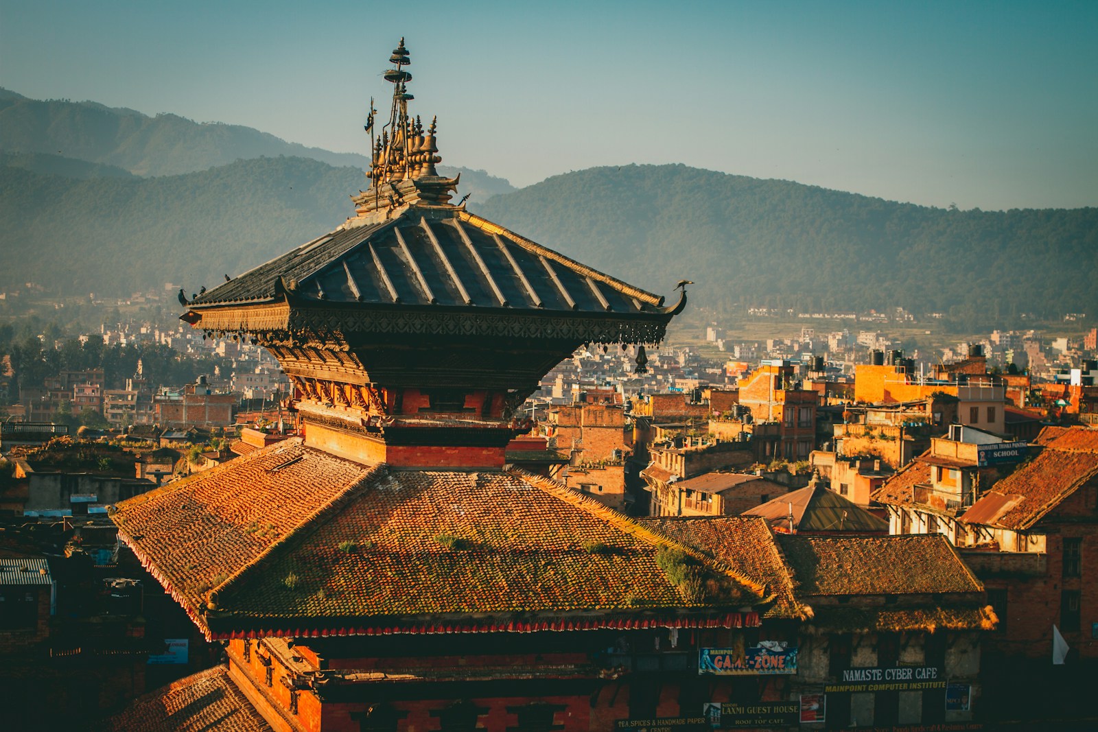
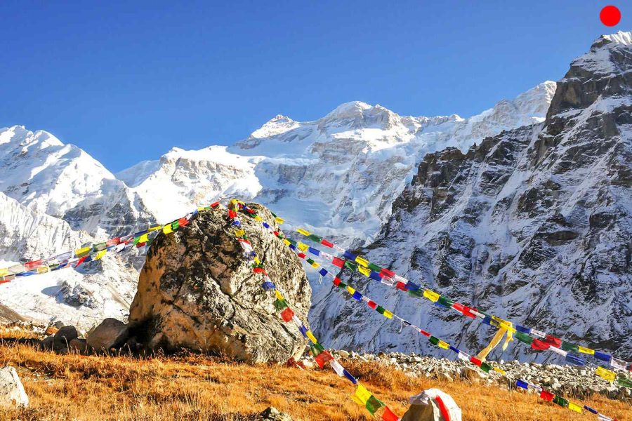
The Manaslu region boasts a rich history and culture, profoundly influenced by Tibetan traditions due to its geographical proximity to the Tibetan border.4
Respecting local customs is paramount for a meaningful cultural exchange.
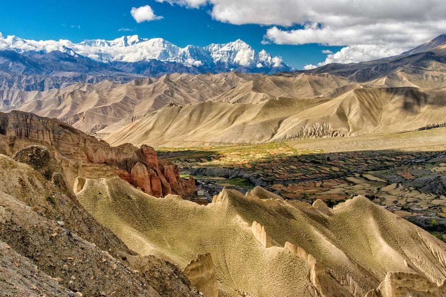
The Manaslu Conservation Area (MCA), established in 1998, spans 1663 square kilometers in the Gorkha district and lies adjacent to the Annapurna Conservation Area.3 This protected region is a testament to Nepal’s commitment to preserving its natural heritage.
The Manaslu Conservation Area demonstrates the interdependence of nature and culture. The conservation efforts are not solely focused on protecting flora and fauna but are inherently linked to preserving the local culture. The livelihoods of the indigenous communities, such as the Gurung and Tibetan-influenced groups, are deeply intertwined with the natural environment, relying on agriculture and yaks. Sustainable tourism, supported by these conservation initiatives, directly benefits these communities, enabling them to maintain their traditions and way of life. The pristine environment itself is an integral part of the cultural experience, and its preservation ensures the long-term authenticity of the trek.
Sustainable trekking is crucial for preserving the fragile environment and the unique local culture in remote regions like Manaslu. Engaging in responsible trekking practices transforms the traveler from a passive observer into an active steward of the Manaslu region’s delicate environment and vibrant culture.
Adhering to “Leave No Trace” Principles:
These principles are fundamental for minimizing environmental impact:
Supporting Local Communities:
To ensure that tourism benefits the local population and helps preserve their way of life:
By consciously adopting “Leave No Trace” principles and actively supporting local economies, trekkers directly contribute to the sustainability of the Manaslu Circuit. This fosters a sense of stewardship and ensures the unique experience remains intact for future generations, aligning with growing trends in sustainable tourism.
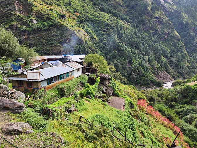
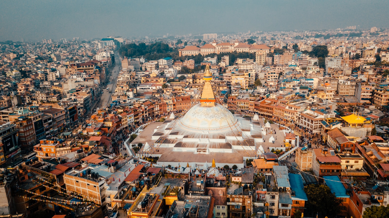
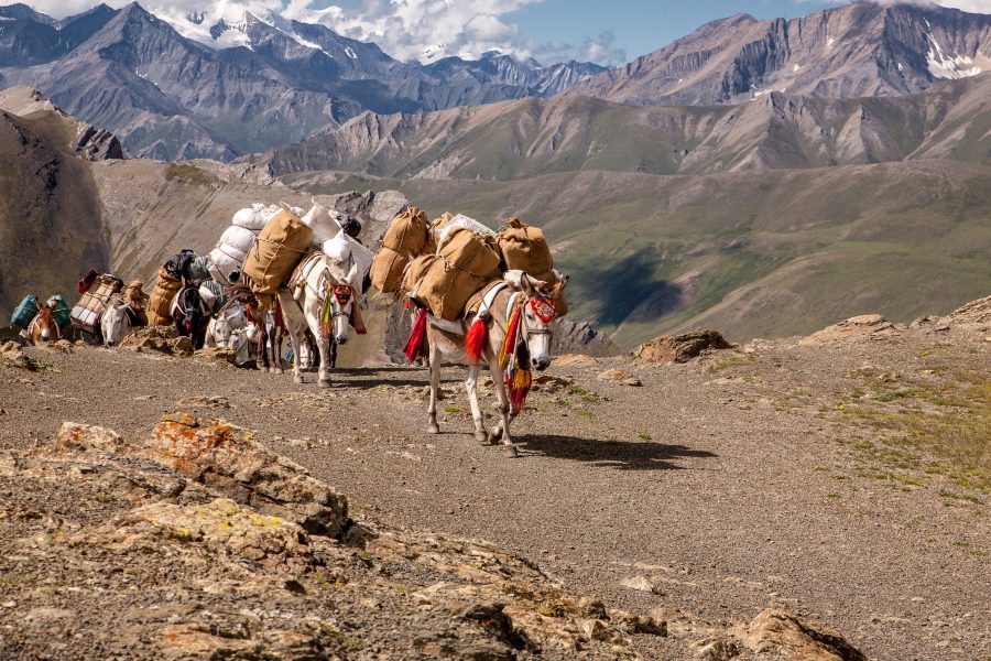
The journey begins with a drive covering 160 km (100 mi) from Kathmandu to Machha Khola. This takes approximately 7-8 hours by private jeep/Hiace or 9-10 hours by local bus. The route traverses through scenic landscapes via Naubise, Maklekhu, Dhading Besi, Jyamire, Gola Bhanjyang Aarughat, and Soti Khola, with a lunch stop at Jyamire. A trekking guide accompanies travelers from Kathmandu.1 While recent road construction has extended the drivable route to Machha Khola, generally shortening the initial walking days, this also introduces an element of unpredictability.1 Road conditions can be highly variable; some sections may be poor due to floods, potentially requiring trekkers to walk for the first two days instead of driving.1 In some instances, jeeps might only reach Lububesi, necessitating a 3-4 hour walk from there.7 This variability, particularly during the monsoon season when landslides and flooding are possible 8, means that trekkers must be prepared for potential alterations to the initial itinerary. This dynamic situation highlights the importance of flexibility in trek planning and underscores the value of a local trekking agency that can adapt to real-time ground conditions and communicate any changes effectively.
This 20 km (12.43 mi) trek takes 6-7 hours. The path passes through Khorla Besi, Tatopani (a natural hot spring), Dovan, and Thulo Dhunga, where lunch is typically served. Trekkers should be prepared for walking along dusty roads and navigating a challenging landslide section.
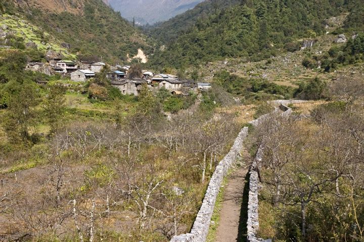
A 22 km (13.6 mi) trek lasting 7-8 hours. The route goes via Salleri, Philim (the largest village on the route, featuring a checkpoint for the Manaslu Conservation Area Permit, a hospital, gompa, and school), and Chisapani for lunch. The final 4-hour hike to Deng is considered quite difficult.
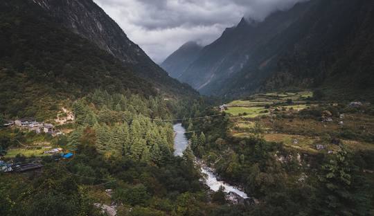
This 19 km (13.4 mi) trek takes 6-7 hours. It begins with an uphill climb to Bhee Phedi, followed by an hour's hike through an earthquake-affected route to Ghap (lunch stop), concluding with a 2-hour uphill trek to Namrung.
A shorter day, covering 16.5 km (11.8 mi) in 4-5 hours. The path is initially flat to Shoo, then leads to Loo, offering stunning views of Manaslu I and Himchuli. The trek continues through Pine, Rhododendron, and Juniper forests to Shyala.
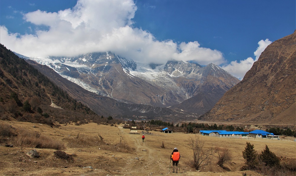
This 17 km (10.6 mi) trek takes 4-5 hours. The initial 1.5 hours to Pyungen Gompa is challenging but rewards trekkers with spectacular mountain views. After visiting the monastery, it's a 2.5-hour downhill walk to Samagaon.
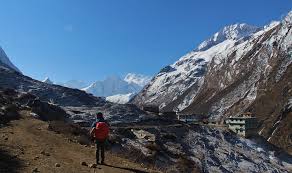
Trekkers stay at Samagaon (3530 m/ 11581 ft.) for a crucial acclimatization day. The optional side trip to Manaslu Base Camp is a 13.2 km (8.2 mi) round trip, taking 7-8 hours and gaining 1270 m (4166 ft) in altitude. An alternative, less strenuous option is a 1-hour uphill walk to Birendra Lake.
A relatively short trek of 5.1 km (3.16 mi), taking 2-3 hours. The path is mostly flat with a final uphill section, crossing the Budhi Gandaki River.
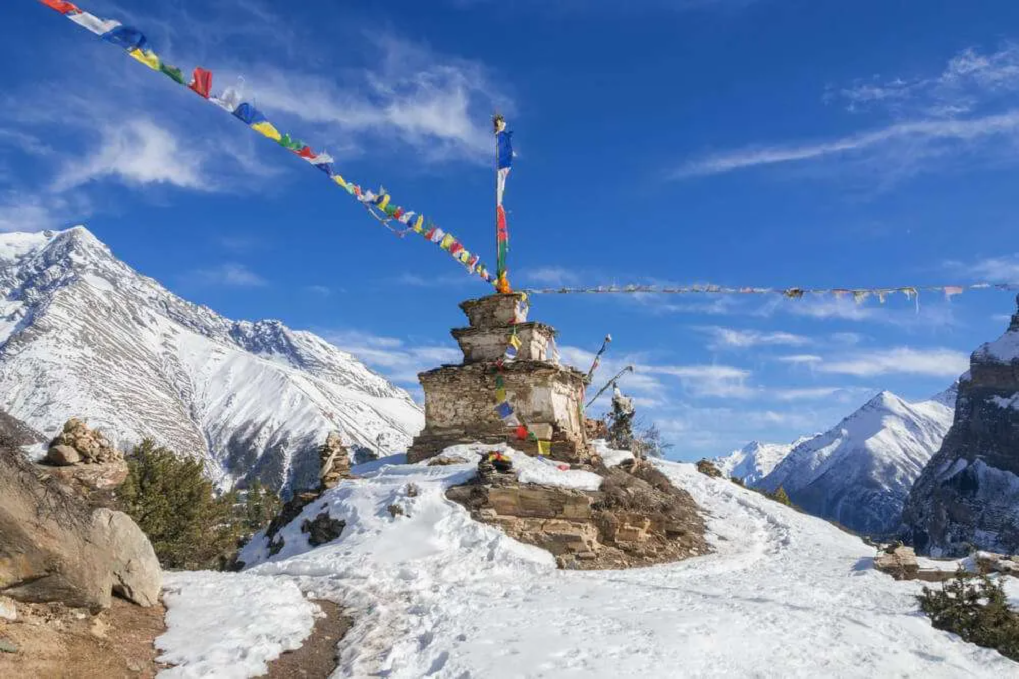
Another vital acclimatization day at Samdo (3875 m/ 12713 ft.). An optional side trip to the Tibetan Border covers 19.5 km (12.1 mi) round trip, taking 8-9 hours and gaining 940 m (3083 ft). A shorter alternative is Samdo Peak, a 2-hour uphill walk.
Similar to Day 7, this second dedicated acclimatization day, strategically placed before the challenging Larkya La Pass, further reinforces the importance of altitude management. The "climb high, sleep low" principle is again applied, allowing the body to continue adapting to higher altitudes. The side trip to the Tibetan Border also offers a unique cultural dimension, highlighting the region's historical ties and close proximity to Tibet, making the trek more than just a physical challenge.
This 6.1 km (3.8 mi) trek takes 3-4 hours. The route passes Larkya Bazar and involves crossing a wooden bridge over the Budhi Gandaki River.1
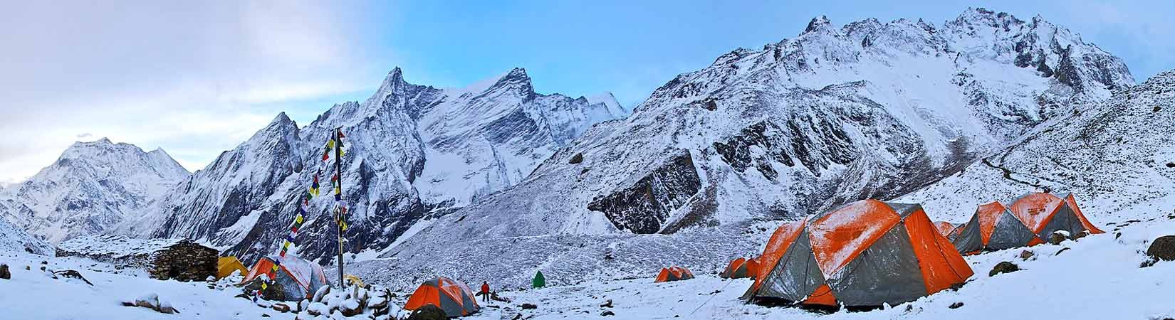
This is the most challenging day of the trek, covering 16 km (9.9 mi) in approximately 8 hours. It involves an early start (around 4:30 AM) for an uphill hike to Larkya La Pass (704 m ascent), followed by a descent to Larke Phedi for lunch, and then continuing downhill to Bhimtang.
A 20 km (12.4 mi) trek taking 5-6 hours. The route passes via Yak Kharka, Sokhe, and Goa, where lunch is typically served.
The final day involves a 200 km (124.3 mi) drive taking 8-9 hours. The initial section from Tilje to Besisahar is off-road, followed by a local bus journey from Besisahar to Kathmandu or Pokhara.1
The conclusion of the trek with a drive from Tilje back to Kathmandu via Besisahar highlights the continued ruggedness of transportation even at the trek's end. The "off-road" section from Tilje to Besisahar means that the transition back to urban comfort is not immediate, and travelers should manage their expectations regarding the journey's comfort and duration. The option to travel to Pokhara instead of Kathmandu is a valuable consideration for trekkers planning further adventures or seeking relaxation post-trek.
Member Since 2025


A True Himalayan Classic